Sources checked 4 November 2026 · Check current NPS notices before travel
Some links are affiliate links. We may earn a commission on qualifying bookings at no extra cost to you. This does not determine your price or guarantee availability.
Understand what the 33-mile description means
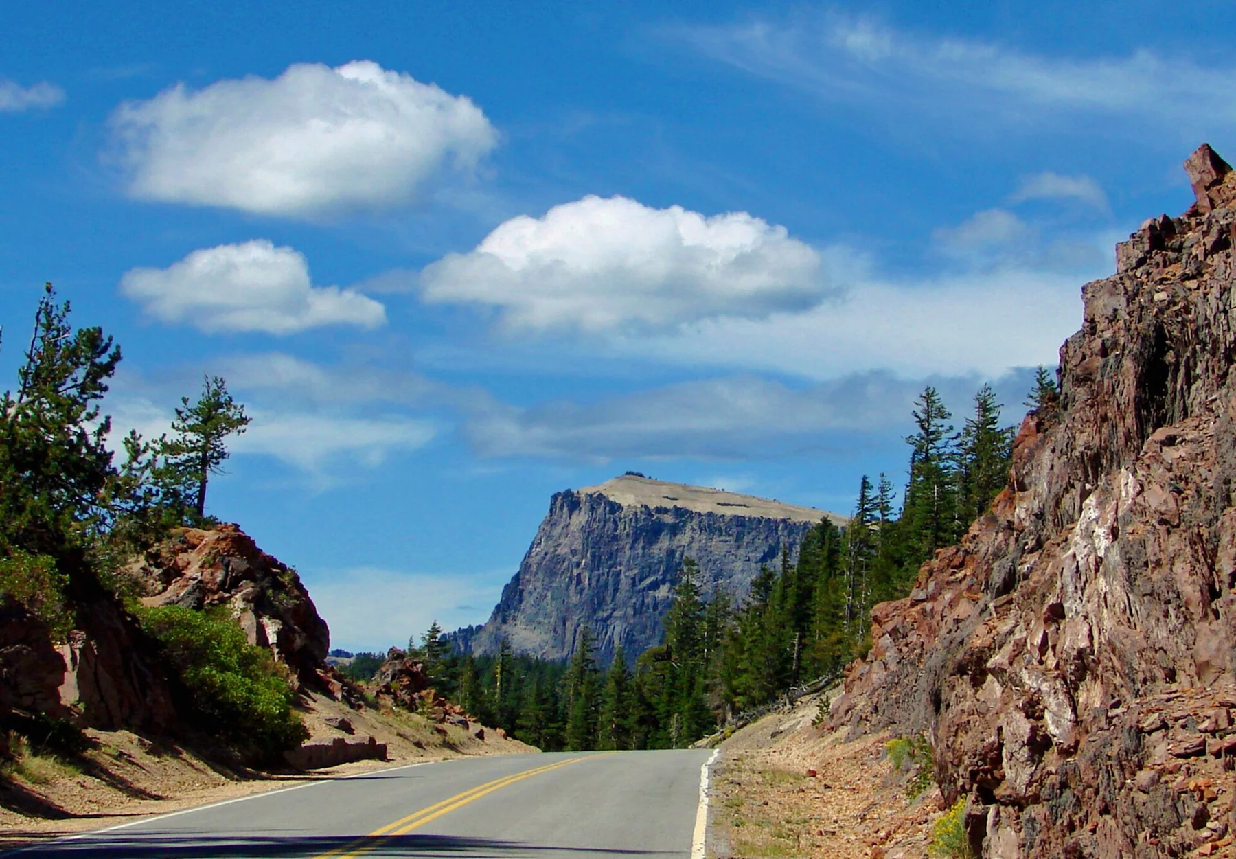
NPS describes Rim Drive as a 33-mile scenic road with about 30 overlooks. It is narrow, winding and generally lacks shoulders. A minimum driving allowance of around two hours applies to a complete open circuit with modest stops, not to a full hiking day or a route affected by queues, construction, snow or backtracking.
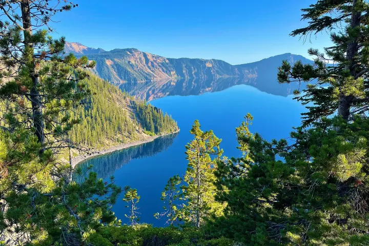
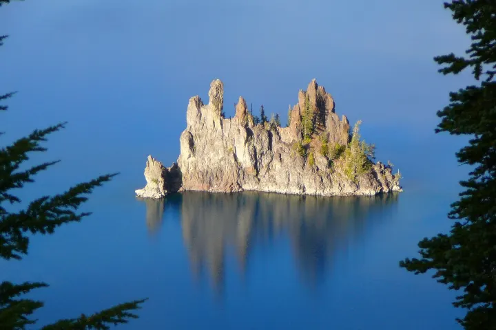
The road itself is a historic designed landscape, following the caldera rim and moving between forest and open views. Different viewpoints reveal Wizard Island, the lake’s cliffs or the smaller Phantom Ship formation from different angles. You do not need to stop at every turnout to understand the landscape; choose a few that give genuinely different perspectives.
Read the current road notice as a route description
Before setting out, identify the open entrance, the open rim segments and any named closure endpoints. North Entrance Road is a separate road from the rim circuit, while Cloudcap and Pinnacles are separate branches. A notice that one segment is open does not establish a continuous route through the next one. Save the current park map and status offline.
The October 2026 winter notice closes North Entrance, most of Rim Drive, Cloudcap and Pinnacles Road to vehicles. Summer opening also proceeds in stages, and the Cleetwood construction adds its own work area. Use the closure guide and official updates rather than an older travel map that draws an uninterrupted circle.
Build a southern or western partial day
Rim Village is a useful starting area when its access road is open. From there, an open western rim section can connect lake views with the Discovery Point area and Watchman approach. The order and reach depend on the road notice, so name a permitted turnaround before leaving rather than assuming you can return by the opposite side.
Separate an overlook from its associated hike. A short stop at Watchman Overlook is not the same activity as the 1.6-mile return climb to the Watchman observation area. Similarly, Discovery Point can be reached as a walking destination from Rim Village when the trail is suitable. Select one main walk and let the other stops remain brief views.
Use the eastern side for its different perspective
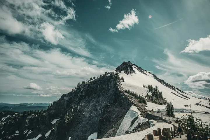
When accessible, the eastern and southeastern areas provide views toward Phantom Ship and access to places such as Sun Notch, Mount Scott and the Pinnacles branch. These are not interchangeable additions. Sun Notch is a short climbing loop; Mount Scott is a substantially longer summit hike; the Pinnacles require the branch road as well as the short trail.
A route that includes Mount Scott should reserve a real hiking block and account for the return drive, not simply add it as another overlook. See the summit guide, Sun Notch and the southeastern walks before deciding how much of the east side is sensible for one day.
Keep stops safe and the vehicle prepared
Use designated parking areas and pullouts, not a traffic lane or a narrow shoulder. Check whether your vehicle fits the available space and whether everyone can get out safely. Photographing from a curve or backing into traffic for a missed view creates a problem for the next driver; continue to a safe place and reassess the stop.
Carry water and a meal if your timetable crosses seasonal dining hours. Fill fuel before entering the park, especially when the Mazama pumps are closed; no diesel is sold in the park. Download directions because cellular service is limited. Our practical guide explains why a scenic drive still needs the same preparation as a more obvious outdoor day.
Cycling and events require their own plan
Rim Drive’s lack of shoulders and repeated climbs make it a different proposition by bicycle from a casual urban cycle path. Vehicle traffic, exposure and weather matter, and the distance alone does not convey the effort. Consult the park’s cycling information and current road restrictions before choosing a route or assuming a closed road is available to bicycles.
The well-known Ride the Rim event was cancelled for 2026 because of construction. A recurring event description or a previous year’s photograph is not a booking confirmation for another season. Do not plan travel around assumed vehicle-free dates. If cycling is central to the trip, establish the actual event status and permitted route before paying for accommodation.
Choose a small number of worthwhile stops
A useful selection might combine a broad caldera panorama, a different view of an island or rock formation, and one trail that suits the group. The best sequence depends on the open roads, light, parking and your exit direction. Keep time for simply looking at the lake; a packed checklist can turn the trip into repeated hurried parking manoeuvres.
Use the one-day plan for a limited visit or a second park day if hiking matters as much as driving. When the road is only partly open, a well-paced out-and-back journey is a complete experience in its own right. The goal is a coherent day, not proof that a vehicle has traced every line on the map.
How the road normally reopens and closes
NPS describes a typical pattern: West and East Rim Drive and North Entrance Road close to cars on 1 November or with the first heavy snowfall, then reopen in stages beginning in May, depending on snowfall. West Rim Drive opens first, then North Entrance Road, then East Rim Drive. The east side is usually the last part of the circuit to become drivable, so an early-summer visit may be an out-and-back western drive.
Ranger-narrated trolley tours around the rim have typically run from July to mid-September; check the official boat and trolley page for the current year before relying on one, because construction affects several summer services. Allow at least two hours to drive the complete loop when it is open, and more for larger vehicles or anyone towing.
Questions before you go
Can I drive around the entire lake now?
Do not assume so. The current winter notice closes most rim roads, and summer access can also be partial. Check named open segments and plan a turnaround.
Is two hours enough for Rim Drive?
It is only a minimum orientation for a complete open 33-mile loop with limited stops. Hikes, longer photography stops, traffic, work zones or backtracking require more time.
Is Pinnacles Road part of the main circle?
No. It is a branch road with its own access status. Confirm that road separately before planning Plaikni Falls or the Pinnacles.
Will Ride the Rim operate every September?
No automatic assumption is safe. NPS cancelled the 2026 event because of construction; check the official announcement for the year you intend to travel.
Sources & editorial notes
Sources include National Park Service notices, official regional information and verified accommodation and activity listings. A dated check is not a live operating-status guarantee.
- National Park Service: Scenic Rim Drive ↗
- National Park Service: Current Conditions ↗
- National Park Service: Hiking Trails ↗
- National Park Service: Ride the Rim Event Cancelled in 2026 ↗
- National Park Service: Safety ↗
- National Park Service: Eating & Sleeping ↗
- National Park Service: Boat and Trolley Tours ↗