Sources checked 4 November 2026 · Check current NPS notices before travel
Some links are affiliate links. We may earn a commission on qualifying bookings at no extra cost to you. This does not determine your price or guarantee availability.
From Medford and the Rogue Valley
The western approach follows Highway 62 through the Rogue River corridor toward the park’s West Entrance. Medford is the nearest airport with commercial services identified by NPS, approximately 75 miles from park headquarters. That is a useful geographical reference, not a door-to-door travel-time promise; airport procedures, rental collection, stops and mountain conditions all add time.
Prospect and Union Creek can break the journey into a closer overnight base. They also make it possible to enjoy the river corridor separately from the lake. If you plan to arrive on an evening flight, compare a Medford night with driving immediately into the mountains. The Rogue corridor guide helps you decide where a regional stop belongs.
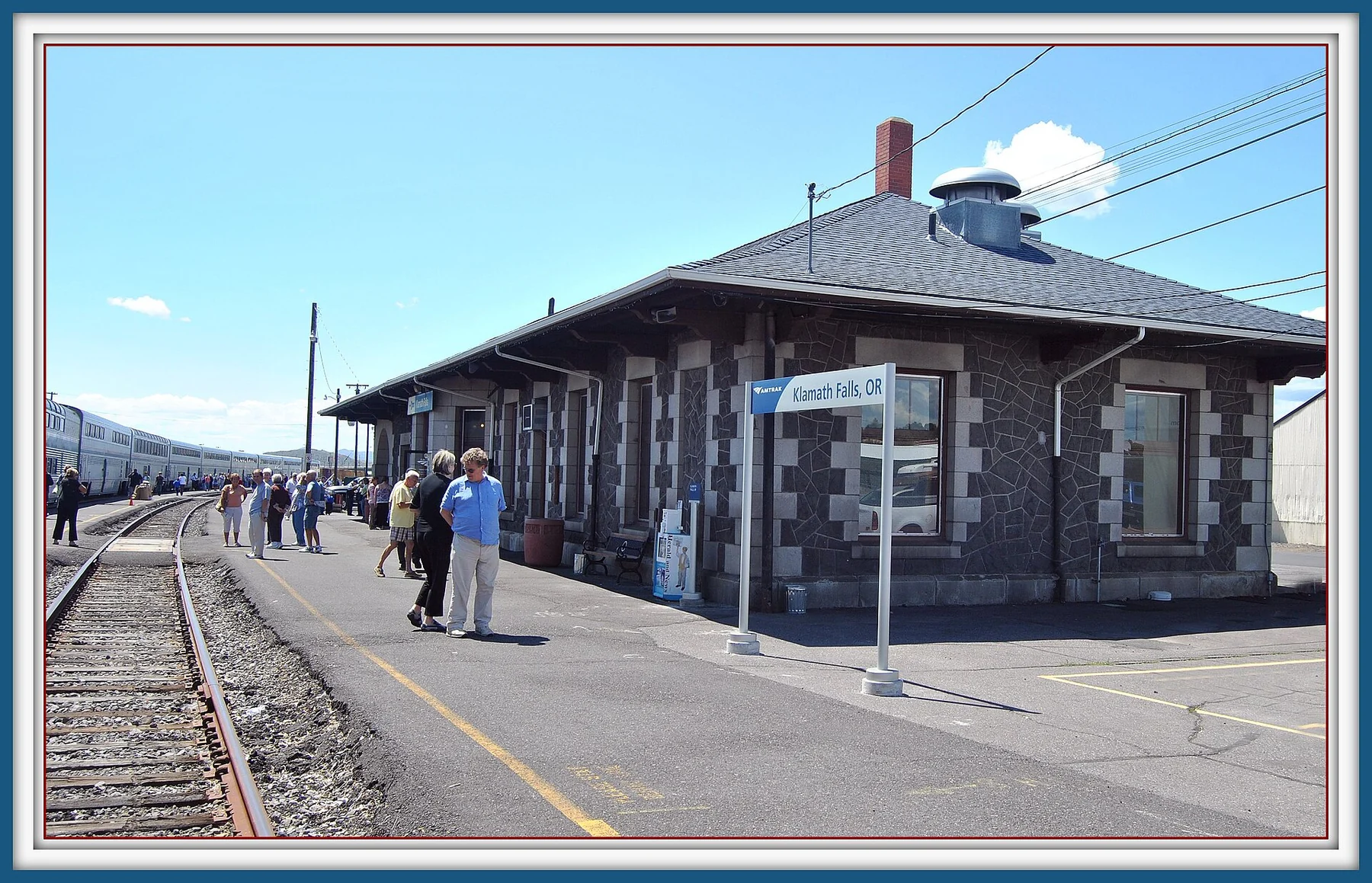
From Klamath Falls and Chiloquin
The southern approach uses Highway 97 and Highway 62 toward the South Entrance. Fort Klamath and Chiloquin provide smaller gateway bases; Klamath Falls has a broader range of accommodation and services farther south. The road from the entrance area continues up Munson Valley Road to headquarters and Rim Village, so a park-boundary mileage is not the distance to the lake view.
Check the actual property pin before choosing a hotel with Crater Lake in its name. Rocky Point and Highway 140 properties are in a different part of the Klamath Basin from Fort Klamath. They can suit a wider regional itinerary, but they should not be described as accommodation on the national-park rim. Compare these locations in the base-selection guide.
From Bend, Chemult and the northern highways
When open, the North Entrance connects Highway 138 with the rim road and can suit travellers approaching along Highway 97 from Central Oregon. Chemult and Diamond Lake are useful names on that northern side. However, North Entrance Road closes for winter and reopens according to snow clearing, not a guaranteed annual date. Never assume a May or June booking includes this shortcut.
With the North Entrance closed, the NPS route from the Highway 97 side continues south toward Chiloquin and uses Highway 62 to the South Entrance. That changes both travel distance and the usefulness of a northern overnight stop. A Bend hotel may fit a larger Oregon holiday, but it is a distant gateway rather than a substitute for sleeping close to the park.
From Roseburg and the Umpqua corridor
Highway 138 brings travellers east from Roseburg through the North Umpqua corridor. In the open-road season it connects with the North Entrance. When that entrance is closed, NPS directs travellers onward by Highway 230 and Highway 62 to the West Entrance. Check all three highways for current conditions before accepting the apparent shortest route.
The waterfalls and Diamond Lake can justify a separate day along this corridor. They also create temptation to overload a single transfer day with short stops that accumulate into hours. Use the corridor guide to choose one or two meaningful stops and keep the final drive and accommodation check-in achievable in the available daylight.
Navigate to a specific place, with an offline backup
The national park does not have one convenient street address for every navigation system. NPS suggests Rim Village as a destination, or the coordinates of headquarters when that is where you intend to go. Check the whole proposed route against the park map and official closures; a blue line crossing a closed seasonal road is not useful directions.
Download maps and save your accommodation, trailhead and meeting instructions before leaving reliable coverage. Mobile reception is limited in and around the park. Carry enough information to turn back or follow a confirmed alternative without depending on a search result loading at a junction. The offline and supplies guide also covers park-app downloads and seasonal services.
Arrange the vehicle or the full transfer
NPS states that there is no public transportation in the vicinity of the park. Reaching a regional city by train, coach or air therefore does not complete the final leg. If you do not drive, secure an actual private or guided service with a named pickup and return, rather than assuming a city taxi or rideshare will be available at the rim.
The GetYourGuide regional activities linked on this site do not provide a Crater Lake sightseeing transfer. Read each meeting point carefully. For a rental vehicle, ask about winter equipment and the rental agreement’s requirements, then follow posted chain or traction rules. All-wheel drive is not a reason to ignore a road closure or a specific equipment requirement.
Plan fuel, breaks and the return before departure
Fuel in Mazama Village is seasonal, and NPS states that diesel is not available inside the park. Fill up before the mountain leg and retain a margin for a detour or backtracking. Winter closure of the North Entrance can make a north-side plan substantially longer. Do not wait until a low-fuel warning to discover that a map’s petrol symbol is a summer service.
Keep a fixed flight, long bus connection or very late hotel arrival separate from an ambitious hiking day. Agree a turnaround time with the whole group and use it even if one viewpoint remains unseen. The one-day outline works best when you add your real outward and return travel time, rather than treating the lake programme as the entire day.
Approximate distances to plan with
NPS publishes distances measured to park headquarters, not to the lake rim; Rim Village is about three more miles uphill. The table collects those official figures for the main gateways. Bend and Portland are not on the NPS lists, so their entries are rough planning ranges only: Bend is commonly around two hours’ drive when the North Entrance is open and noticeably longer via Chiloquin when it is closed, while Portland is typically a drive of around five hours or more.
Use the distances to choose a sensible base, then calculate the exact route from your accommodation on the day. Winter closures, traction requirements and construction can add more time than the mileage suggests, and none of these figures includes stops.
↔ Swipe or scroll sideways to compare all columns.
| From | Approximate distance | Season note |
|---|---|---|
| Fort Klamath | 20 miles to headquarters (NPS) | South approach, maintained year-round |
| Union Creek | 21 miles (NPS) | West approach, maintained year-round |
| Diamond Lake | 25 miles (NPS) | Only when the North Entrance is open |
| Prospect | About 32 miles (NPS) | West approach on Highway 62 |
| Chiloquin | About 33 miles (NPS) | South approach via Highway 62 |
| Chemult | 42 miles (NPS) | The short route needs the North Entrance |
| Klamath Falls | 57 miles (NPS) | Highway 97, then Highway 62 |
| Medford airport | 75 miles (NPS) | Highway 62 to the West Entrance |
| Bend | Roughly two hours in summer (estimate) | Much longer when the North Entrance is closed |
| Portland | Around five hours or more (estimate) | Check which entrance is open for your date |
Questions before you go
Which entrances can be used in winter?
The South and West Highway 62 approaches are maintained year-round, subject to temporary closures and traction requirements. The North Entrance closes seasonally, and the final road up to Rim Village may close during unsafe conditions.
Can I take a public bus to Rim Village?
NPS states that there is no public transportation in the park vicinity. Arrange a confirmed final-leg service if you do not drive; reaching Klamath Falls or Medford is not the same as reaching the rim.
Is Crater Lake Resort inside the park?
No. The property listed on this site is in Fort Klamath. Crater Lake Lodge is the separate seasonal lodge at Rim Village inside the national park.
Can I buy diesel inside the park?
NPS says no diesel is available inside the park. Unleaded fuel at Mazama Village is seasonal, so plan to refuel on your approach and check current operation.
Sources & editorial notes
Sources include National Park Service notices, official regional information and verified accommodation and activity listings. A dated check is not a live operating-status guarantee.
- National Park Service: Directions ↗
- National Park Service: Current Conditions ↗
- National Park Service: Places to Stay Outside the Park ↗
- National Park Service: Eating & Sleeping ↗