Sources checked 4 November 2026 · Check current NPS notices before travel
Some links are affiliate links. We may earn a commission on qualifying bookings at no extra cost to you. This does not determine your price or guarantee availability.
Understand the two names
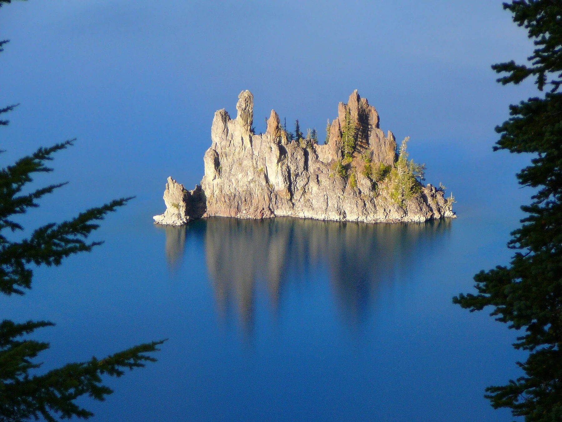
Sun Notch is the landform and walking route on the southeastern side of the caldera. Phantom Ship is the rocky island formation seen from this part of the rim. The names refer to different things: walking Sun Notch does not take you onto Phantom Ship, and a viewpoint named for the formation is not a boat landing.
This distinction is especially important during the Cleetwood project. NPS lists the only permitted public shoreline route and public boat access as closed during the 2026–2028 project seasons. The southeastern viewpoints remain rim-level experiences when their roads and trails are open. Read the shoreline guide if older travel descriptions have suggested a lake-level excursion.
The route is short but climbs
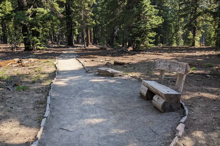
The NPS hiking table lists Sun Notch as a 0.8-mile, roughly 1.3-kilometre, loop with 150 feet, about 46 metres, of elevation gain. It passes a grassy area and reaches rim views through the surrounding forest. The figure is modest compared with Garfield Peak or Mount Scott, but the climb is still noticeable for someone expecting a flat promenade.
Allow time to walk slowly, look at the formation and return without rushing. Footing, wet ground, snow and individual stamina matter more than a universal short-trail time. If someone needs assistance, discuss the actual surface and slope with park staff. NPS’s accessibility description refers to stronger wheelchair users with assistance, not effortless independent access for every chair.
Use the view to read the volcanic landscape
Phantom Ship is visually different from the larger Wizard Island. From suitable viewpoints its steep rock forms can resemble a ship, but the useful experience is noticing its scale within the caldera and the surrounding cliffs. Light and viewing angle alter how clearly it separates from the background, so a patient look can reveal more than a quick photograph.
The broader caldera formed after the collapse of Mount Mazama roughly 7,700 years ago. Keep the landscape story tied to that volcanic setting rather than inventing a romantic legend to explain a place name. The first-visit guide introduces the lake’s geography, while individual viewpoints help make those large-scale processes easier to picture.
Check the southeastern road separately
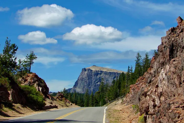
Sun Notch is reached along the southeastern rim-road system. Access depends on the relevant segment being open, not merely on arriving through the South Entrance. Winter closes most rim roads, and snow clearing or work zones can limit them at other times. Read the current notice and identify how far you can legally travel before choosing a sequence of stops.
A navigation app may still draw a connection through a closed segment. Use official road status and signs rather than attempting to finish a loop that is unavailable. The Rim Drive guide is organised around open sections and turnarounds, which is more useful than a fixed clockwise itinerary when access changes.
Compare the loop with a roadside viewpoint
A roadside Phantom Ship view may suit someone who wants a brief stop, while Sun Notch adds a walk and changing angles. They are complementary rather than mandatory duplicates. Choose the version that fits the group’s available time and walking comfort, and assess the actual parking-to-view route before assuming the roadside option is entirely step-free.
For a low-walking visit, one clear panorama can be enough. For a group that enjoys short trails, Sun Notch can be paired with a different type of walk such as Plaikni Falls or the Pinnacles, provided the branch road and trails are open. Do not add a major summit hike merely because it lies on the same side of the map.
Keep children and photography close to the established route
The short distance can make Sun Notch appealing to families, but the rim still requires attention. Stay on established paths and within permitted viewing areas, and supervise children around steep terrain. A better camera angle is not a reason to step beyond a barrier or onto an unstable edge. Carry a layer because a sheltered start can differ from an exposed view.
Phones and wide-angle lenses may make Phantom Ship appear small in the frame. That is a photographic limitation, not evidence that the viewpoint is disappointing. Take time to view the formation directly and choose a composition that includes the larger landscape. The photography guide discusses light, weather and safe positioning without promising a particular image.
Make it part of a manageable southeastern visit
Sun Notch can work as a main short walk on a partial-day visit if the road is open, or as a limited addition after another nearby activity. Keep its role clear: it is a view-and-walk stop, not a place to swim, land on an island or find extensive services. Carry the supplies needed between seasonal facilities.
Choose the return route before starting and keep the drive to your overnight base in the schedule. If access prevents reaching Sun Notch, use an available rim view rather than improvising a detour through a closure. The one-day guide shows how to keep the experience coherent even when the original stop list changes.
Questions before you go
How difficult is Sun Notch?
NPS lists a 0.8-mile / 1.3-kilometre loop with 150 feet / 46 metres of climbing. It is short, but surface, snow and slope still affect suitability.
Does Sun Notch reach Phantom Ship?
No. It is a rim walk with a view of the rock formation in the lake. There is no walking route from the viewpoint onto the formation.
Is it suitable for every wheelchair user?
No blanket guarantee is appropriate. NPS describes access for stronger wheelchair users with assistance; ask about current surface and slope for your particular needs.
Can I visit when the main entrance is open?
Only if the connecting southeastern road and trail are also open. Entrance access does not guarantee access to every rim viewpoint.
Sources & editorial notes
Sources include National Park Service notices, official regional information and verified accommodation and activity listings. A dated check is not a live operating-status guarantee.
- National Park Service: Hiking Trails ↗
- National Park Service: Accessibility ↗
- National Park Service: Current Conditions ↗
- National Park Service: Geology ↗
- National Park Service: Cleetwood Cove Trail and Marina Rehabilitation ↗
- National Park Service: Safety ↗