Sources checked 4 November 2026 · Check current NPS notices before travel
Some links are affiliate links. We may earn a commission on qualifying bookings at no extra cost to you. This does not determine your price or guarantee availability.
Compare distance, climbing and altitude together
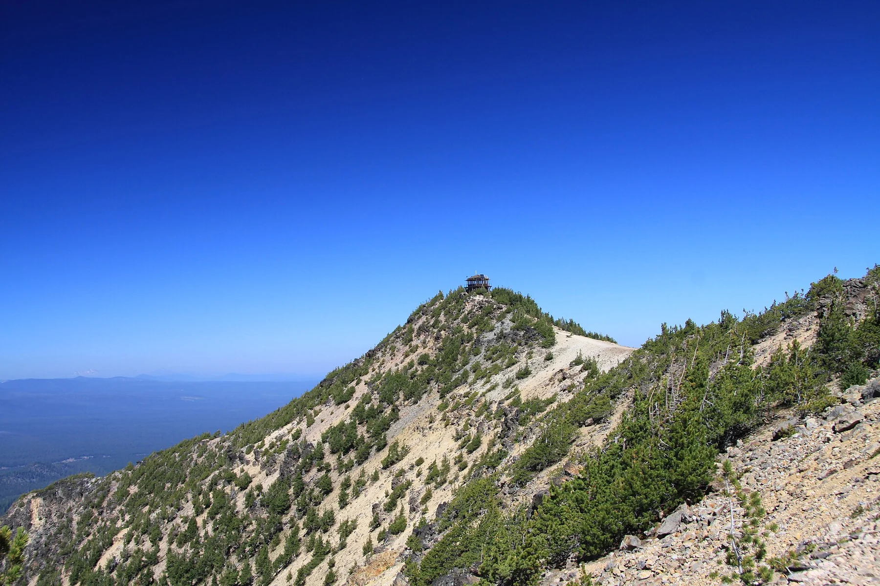
NPS lists the trail as 4.4 miles, about 7.1 kilometres, round trip with 1,250 feet, about 381 metres, of elevation gain. The summit elevation means that even visitors comfortable with a similar distance near sea level may prefer a slower pace. A route can be manageable and still deserve a full hiking block in the schedule.
The distance is a return total, not the length in one direction. Allow time for breaks, the summit and the descent rather than dividing the mileage by a walking speed borrowed from a flat city route. Establish a turnaround based on weather, daylight and group energy. A summit goal does not make continuing sensible after conditions or ability no longer match the plan.
The trailhead requires eastern road access
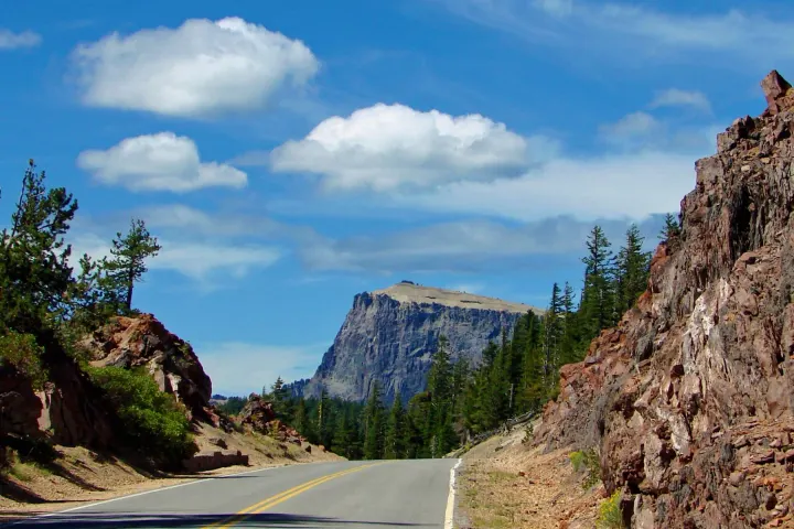
Mount Scott is reached from the eastern side of Rim Drive when the relevant road sections are open. That is a separate question from whether a South or West Entrance is open, and separate again from whether North Entrance can be used. A partial rim closure may prevent reaching the trailhead or require a longer approach and return.
Read the named closure endpoints on the current-access guide and NPS notices. Do not assume a continuous circular drive simply because a map depicts one. The current winter notice closes most rim roads; the normal summer trailhead description is not a winter vehicle-access promise. Save the route you can actually use before leaving reliable reception.
Expect a wider landscape rather than a close shoreline view
The summit’s appeal is an expansive view over the park and surrounding country, with the caldera understood as part of a larger volcanic landscape. It is not a descent to the water, and the lake may occupy a different proportion of the panorama than in photographs from the rim. Choose Mount Scott for that broad perspective and the mountain walk itself.
Cloud, smoke and haze can reduce distant visibility. If a close view of the lake is the primary goal, a lower rim stop may satisfy it more directly. The Rim Drive guide and Sun Notch guide help compare different perspectives without treating the highest viewpoint as automatically the most useful one for every visitor.
Prepare for exposed summit conditions
Bring drinking water, food, a wind-resistant layer and clothing appropriate to the forecast. The weather at a trailhead or in Klamath Falls is not a guarantee of summit conditions. A long stop after climbing can feel cold, and a warm afternoon can still include a sharp change in wind or cloud. Keep the return route and time visible in your decision-making.
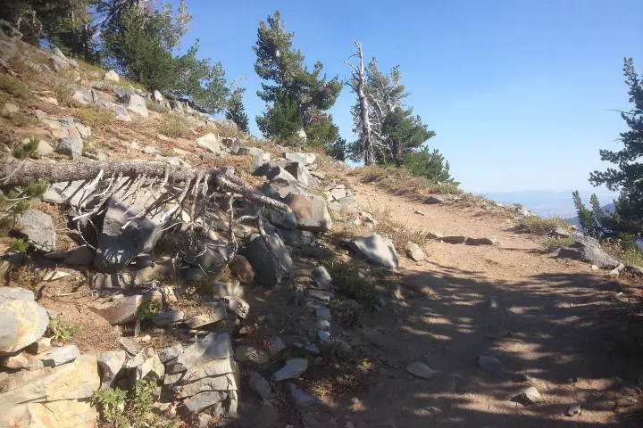
Snow can obscure the established trail and persist beyond the opening of nearby roads. Avoid interpreting a set of footprints as an official route or a suitability assessment. If conditions require skills or equipment the group does not have, select a different activity. The winter guide explains why snow-covered terrain needs a separate plan.
Do not turn the summit into an overloaded driving day
A Mount Scott day can include a small number of nearby viewpoints if access and energy allow, but it should not also depend on several other major hikes. Garfield Peak and Watchman each involve their own climb and trailhead logistics. Adding all three can leave little margin for the lake, meals, changing conditions or the drive back to accommodation.
Consider a simple sequence: travel to the confirmed trailhead, complete the main hike, take a restorative break, then choose one optional nearby stop. Leave the optional stop genuinely optional. Two park days make it easier to separate a summit objective from a broader scenic drive and to retain an alternative if weather changes.
Choose companions and arrangements realistically
For a mixed-ability party, discuss the route before the trip rather than deciding at the trailhead under pressure. Some travellers may prefer an accessible viewpoint or a shorter walk, but splitting the group requires a comfortable waiting arrangement and a specific reunion plan. Limited reception makes vague instructions such as call when you finish unreliable.
Mount Scott is not a pet-permitted hiking trail in the NPS list. Children’s suitability depends on experience and endurance rather than a universal age cutoff supplied by this guide. See family and accessibility planning and pet rules before choosing the route for the whole party.
Use the overnight location to protect the hiking day
A very long morning drive can use the energy and daylight you intended for the trail. Compare a closer southern or western gateway with a city base, using the actual open road network. A northern base can be logical when the North Entrance and connecting roads are open, but becomes a different proposition when a seasonal detour is required.
Book the accommodation for its role in the route, not simply for a mountain-themed name. Save arrival instructions and confirm dinner plans before walking. Our accommodation guide distinguishes smaller gateway stays from resorts and city hotels so that the summit day does not finish with an unplanned search for services.
Questions before you go
Is Mount Scott the highest point in the park?
Yes. NPS gives its summit elevation as about 8,929 feet / 2,721 metres. That elevation is one reason to consider pace and exposure as well as distance.
How long is the return hike?
The NPS hiking table lists 4.4 miles / 7.1 kilometres with 1,250 feet / 381 metres of gain. Allow time appropriate to your group and conditions rather than relying on one fixed duration.
Can I reach the trailhead from an open South Entrance?
Not necessarily. You must also confirm the connecting eastern rim-road sections. An open entrance alone does not establish access to every trailhead.
Should I combine it with Garfield Peak the same day?
Most visitors benefit from choosing one principal climb and leaving time for viewpoints and the return drive. Combining major hikes is a separate endurance decision, not a standard first-visit itinerary.
Sources & editorial notes
Sources include National Park Service notices, official regional information and verified accommodation and activity listings. A dated check is not a live operating-status guarantee.
- National Park Service: Hiking Trails ↗
- National Park Service: Current Conditions ↗
- National Park Service: Safety ↗
- National Park Service: Pets ↗