Sources checked 4 November 2026 · Check current NPS notices before travel
Some links are affiliate links. We may earn a commission on qualifying bookings at no extra cost to you. This does not determine your price or guarantee availability.
The source that controls the shoreline plan
Checked on 4 November 2026, the NPS Cleetwood Cove Trail and Marina Rehabilitation page explicitly says there will be no public boat tours during the summers of 2026, 2027 and 2028. The Cleetwood trail page names the same three seasons. These detailed notices are the basis for this guide’s recommendation to build a visit without public lakeshore access during that period.
Some older NPS and concession boat pages still mention only 2026 and 2027. That inconsistency does not establish an earlier reopening. Use the dedicated project page and current alerts, and ask the park about any subsequently announced change. Do not make a non-refundable booking on the assumption that the shoreline will reopen on a particular day in 2029.
Why the project needs a complete closure
The work includes removing unstable rock above the route, rebuilding trail surfaces and retaining walls, replacing failed marina infrastructure, and improving lakeshore facilities. Workers need to move material through a constrained area with steep slopes, and the parking lot also serves the construction operation. This is not a short obstacle that hikers can simply walk around.
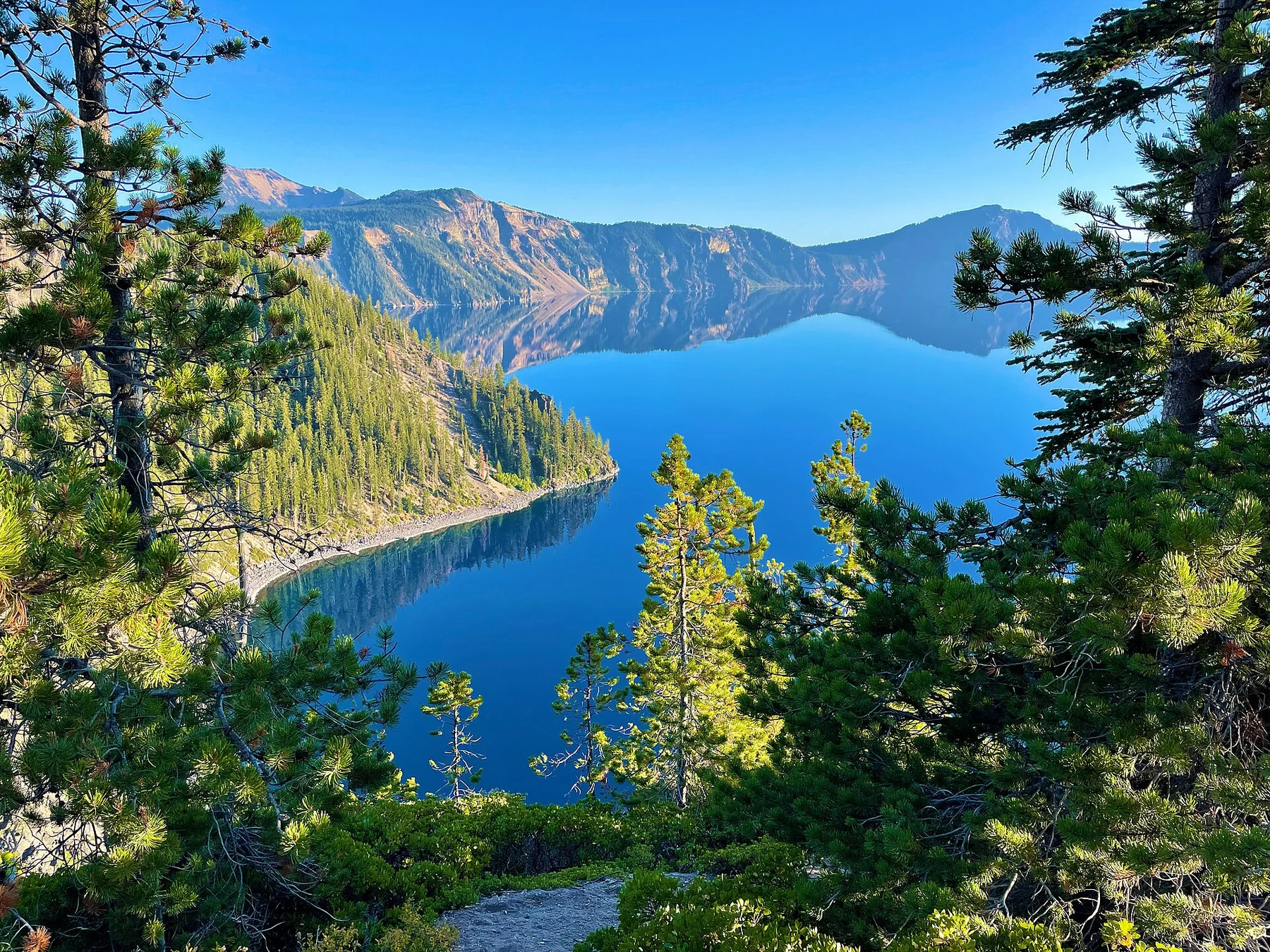
Cleetwood is the only permitted public access to the shore. Descending another caldera slope is not a legitimate alternative, nor does bringing a kayak create a new way to reach the water. Our Cleetwood and Wizard Island guide explains what the historic experience involved and what remains a view-from-above destination during the closure.
The winter notice is a different restriction
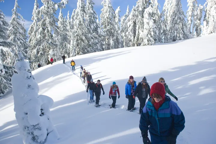
The current-conditions alert dated 26 October 2026 says North Entrance Road, most of Rim Drive, Cloudcap and Pinnacles Road are closed to automobiles for the winter season. Highway 62 through the park and the South and West approaches remain the maintained routes, subject to temporary interruptions. The final road to Rim Village has its own operational status.
A winter road closure also changes the geography of hotel choice. A room north of the lake may look close on a straight-line map but require a substantial road detour to the southern access. Check the entrance alternatives and plot the entire permitted route before deciding that a northern motel is the convenient choice for your visit.
Summer does not automatically restore a complete loop
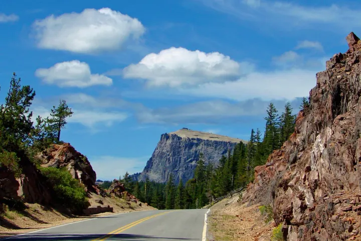
Snow clearing progresses in stages and the date varies with the snowpack and conditions encountered by crews. Construction, rockfall and other operational restrictions can also limit access after some roads reopen. The historic 33-mile Rim Drive is a useful description of the road, not a promise that you can drive a continuous circuit on your chosen date.
Read the named endpoints of any partial closure. If an east-rim section is unavailable, a trip may require returning along the same road rather than crossing a closed gap. Do not use a navigation app’s fastest-route calculation to decide whether a gate or work zone can be passed. Our Rim Drive guide is designed around a confirmed open section and a turnaround.
Read the dated alert before the generic description
On the page checked for this edition, the top seasonal list names the lodge, Mazama cabins, campground and gas pumps as closed, while a lower camping paragraph still says they are open. The sensible interpretation is to use the dated alert and current seasonal list, then confirm the service directly. A standard descriptive paragraph can survive an update elsewhere on a page.
The same discipline applies to hiking and accessibility pages. They describe distances, grades and normal facilities, but do not independently confirm that the road to a trailhead is open today. Keep the route description for planning and consult the current-conditions notice for access. Where they conflict, ask park staff before travelling rather than choosing whichever wording suits the itinerary.
Use visibility and road access as separate checks
An open road does not ensure a visible lake. Clouds, snowfall and wildfire smoke can each hide the caldera. A webcam can help, but inspect its timestamp because power or communications failures may leave an old image online. Pair that observation with the National Weather Service forecast and official road information rather than treating a single clear photograph as a forecast.
If the rim is obscured, decide whether waiting fits the day safely. A short visit with a distant hotel or flight may be better postponed; an overnight stay can leave another opportunity. Use the winter guide for snow-specific considerations and the practical guide so a delay does not leave you relying on a closed restaurant or fuel pump.
Build a plan that survives one change
Choose a main experience that is actually available: a rim view, an open viewpoint walk, or a confirmed seasonal programme. Name an alternative on the same accessible approach, and establish the point at which you will return to your accommodation. This makes a change manageable without adding an unresearched trail or a long detour late in the day.
For any paid regional excursion, read its cancellation terms and location independently of park status. A business outside the national park may operate while a park road closes, and its refund policy may not cover your inability to reach the lake. Keep accommodation flexibility, transport and activities visible as separate commitments when comparing the total trip cost.
Swimming, fishing and drones: the rules behind the headlines
In normal seasons NPS describes Cleetwood Cove as the only place where it is safe and legal to reach the shore, and its FAQ says fishing is allowed without a licence, using artificial bait only. Those permissions depend on shoreline access, so during the trail closure they are background information rather than something to plan. The current-conditions page describes Cleetwood as closed for major construction until 2029.
Drones follow a separate rule that does not change with the project. NPS states that launching, landing or operating an unmanned aircraft within Crater Lake National Park is prohibited except as approved in writing by the superintendent. Leave the drone packed and photograph from permitted viewpoints instead. Pet rules for water, backcountry camping and winter routes are explained in their own guides.
Questions before you go
Are boats operating in 2027 or 2028?
The dedicated NPS project page checked for this edition says no public boat tours in the summers of 2026, 2027 or 2028. Do not rely on older two-year notices to assume otherwise.
Can I walk down another part of the caldera?
No. Cleetwood is the only permitted public shoreline route, and it is closed for the project. Other slopes are not an authorized substitute.
Does a summer date guarantee Rim Drive is open?
No. Snow clearing, work zones and other restrictions determine the actual open sections. Confirm the route for your date and allow for backtracking.
Where should I check just before leaving?
Read NPS current conditions and the project page, then check the weather forecast, timestamped webcam and Oregon TripCheck for roads outside the park. Ask the park to resolve conflicting notices.
Can I fly a drone at Crater Lake?
Not without written approval from the park superintendent. NPS prohibits launching, landing or operating unmanned aircraft within the park, so plan ordinary photography from permitted viewpoints.
Sources & editorial notes
Sources include National Park Service notices, official regional information and verified accommodation and activity listings. A dated check is not a live operating-status guarantee.
- National Park Service: Current Conditions ↗
- National Park Service: Cleetwood Cove Trail and Marina Rehabilitation ↗
- National Park Service: Cleetwood Cove ↗
- National Park Service: Weather ↗
- National Park Service: Boat and Trolley Tours ↗
- National Park Service: Frequently Asked Questions ↗
- National Park Service: Unmanned Aircraft ↗