Sources checked 4 November 2026 · Check current NPS notices before travel
Some links are affiliate links. We may earn a commission on qualifying bookings at no extra cost to you. This does not determine your price or guarantee availability.
The branch road is its own access question
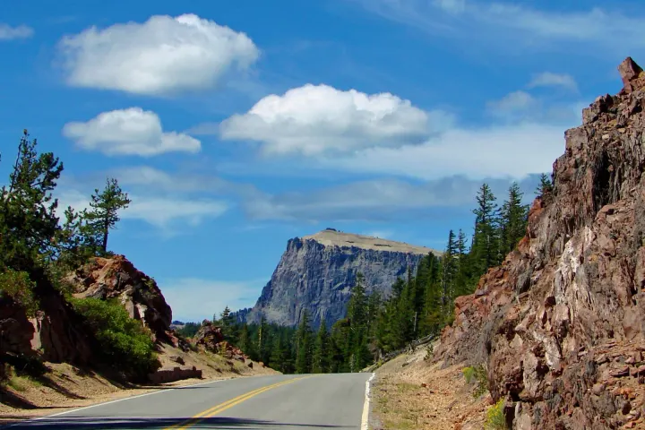
Pinnacles Road leaves East Rim Drive near the Phantom Ship viewpoint area. NPS’s hiking directions place the Plaikni trailhead about 1.2 miles along the branch and the Pinnacles at its end, roughly six miles from the junction. These are orientation figures from the trail guide, not proof that the entire road is currently drivable.
The current conditions page lists the road as closed for winter and also describes construction-related restrictions in its road table. That combination makes checking the exact current notice essential. Do not assume that an open East Rim Drive automatically permits a vehicle journey down Pinnacles Road. Read the closure guide and ask NPS if the notice does not clearly describe your intended access.
Plaikni Falls is a forest walk with a final climb
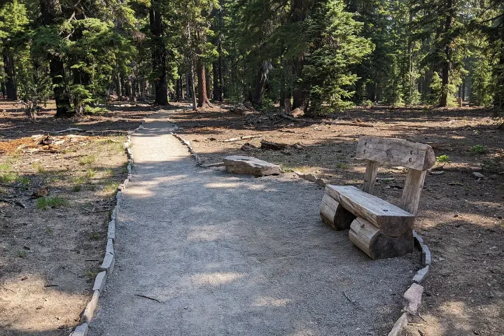
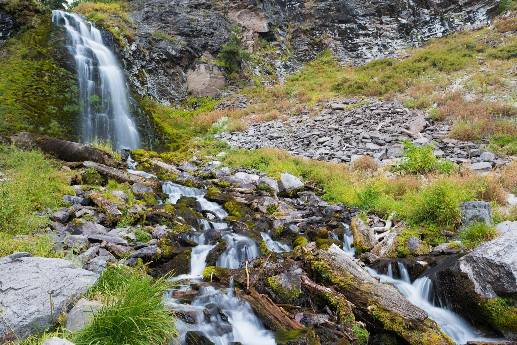
The NPS hiking table gives Plaikni Falls as two miles, about 3.2 kilometres, round trip with roughly 100 feet, or 30 metres, of elevation gain. The route goes through forest to a waterfall fed by snowmelt. Its appeal is the forest, water and seasonal plants, rather than a view down into Crater Lake itself.
A low total gain does not mean every part is level. NPS describes the first three-quarters as usable by wheelchair users with assistance, while the final climb can be too steep. Choose how far to go according to the actual surface and the group’s needs; reaching the waterfall is not a reason to push equipment or a companion beyond a comfortable limit.
The Pinnacles tell a different geological story
The spires formed in volcanic deposits where escaping hot gases hardened surrounding material, leaving resistant shapes as softer material eroded. From the established trail, the canyon provides a close look at that process. This is a different landscape from Wizard Island’s cone or a lake-rim cliff, which makes it a useful addition for visitors interested in the park’s geology.
The hiking table lists a short 0.8-mile, about 1.3-kilometre, return route with around ten feet, or three metres, of gain. Other NPS descriptive material discusses a longer extent toward the boundary, so use the marked route and current map rather than treating every distance mentioned online as the same walk. Stay on the established path near canyon edges.
Choose between the two by interest and effort
Plaikni provides a longer forest walk with water at the end; the Pinnacles offer a shorter, flatter geological viewpoint route when accessible. A group interested mainly in the lake may prefer Sun Notch instead. A group wanting a quieter contrast to the rim may find one of these branch-road walks more rewarding than another similar overlook.
Doing both is possible only when the necessary road and trail access is available and the day has enough room. Do not measure the addition solely by walking mileage: driving the branch, finding legal parking, preparing at each trailhead and returning to the rim all take time. A deliberate choice of one walk often fits a first visit better than a compulsory pair.
↔ Swipe or scroll sideways to compare all columns.
| Walk | NPS return distance / gain | Main reason to choose it |
|---|---|---|
| Plaikni Falls | 2.0 miles / 100 feet · 3.2 km / 30 m | Forest and a snowmelt-fed waterfall |
| Pinnacles | 0.8 mile / 10 feet · 1.3 km / 3 m | Volcanic spires and canyon views |
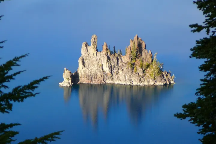
| Sun Notch | 0.8 mile / 150 feet · 1.3 km / 46 m | A rim view toward Phantom Ship |
Seasonal water and snow change the experience
Because Plaikni’s water is snowmelt-fed, its appearance is not a fixed year-round performance. Snow cover also affects the approach and trail surface. A photograph taken in one season should not be used to promise the same waterfall volume, flowers or clear path on another date. Read the current trail information as well as the road notice.
The forest can feel sheltered, but wet ground, roots and lingering snow still demand appropriate footwear. Carry water and a layer even for a shorter walk, and avoid stepping into sensitive vegetation for a closer photograph. If the intended route is unsuitable, choose a confirmed open alternative instead of looking for an unofficial shortcut through the area.
Accessibility and family planning need specific questions
The words easy and accessible describe different things. Plaikni’s final slope may matter more to a wheelchair user than its overall distance, while the Pinnacles’ canyon edge may matter more to a family than its minimal climbing. Ask about the actual surface, width, gradient, parking-to-trail connection and available assistance. Conditions after rain or snow can change the answer.
Neither a short route nor a quiet trail permits ignoring pet rules. Check the designated pet routes rather than bringing an animal because the walk looks gentle. For a group needing a more controlled surface near facilities, Rim Village or an appropriately assessed Godfrey Glen visit may provide a more suitable comparison.
Place the branch-road outing within a complete day
These walks fit most naturally into a southeastern park day when the access network permits it. They do not need to be combined with a full Rim Drive circuit and Mount Scott. Keep one main experience, one optional addition and a clear return route, especially if construction requires backtracking rather than continuing around the lake.
Carry food if seasonal services will not coincide with your timetable, and choose accommodation on the correct approach. A second park day can separate forest-and-geology walks from the main lake panorama. That gives each landscape attention without turning a side road into the cause of a late and tiring drive.
Questions before you go
Are these walks viewpoints over Crater Lake?
Their main attractions are different: Plaikni is a forest waterfall walk and the Pinnacles overlook volcanic spires in a canyon. Choose Sun Notch or another rim viewpoint if the lake panorama is the priority.
Is Pinnacles Road automatically open with East Rim Drive?
No. It is a separate branch with its own winter and construction restrictions. Confirm the exact access before planning either trailhead.
Can a wheelchair reach Plaikni Falls itself?
NPS describes assisted access along the first three-quarters, with a final climb that may be too steep. Ask about the current surface and your particular equipment rather than assuming access to the falls.
Why do online Pinnacles distances differ?
Different descriptions refer to different extents of the trail. This guide uses the NPS hiking table’s 0.8-mile return outing; follow current signs and the route you have actually chosen.
Sources & editorial notes
Sources include National Park Service notices, official regional information and verified accommodation and activity listings. A dated check is not a live operating-status guarantee.
- National Park Service: Hiking Trails ↗
- National Park Service: Accessibility ↗
- National Park Service: Current Conditions ↗
- National Park Service: Geology ↗
- National Park Service: Safety ↗
- National Park Service: Pets ↗