Sources checked 4 November 2026 · Check current NPS notices before travel
Some links are affiliate links. We may earn a commission on qualifying bookings at no extra cost to you. This does not determine your price or guarantee availability.
Begin with the mountain geography
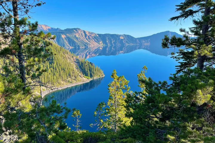
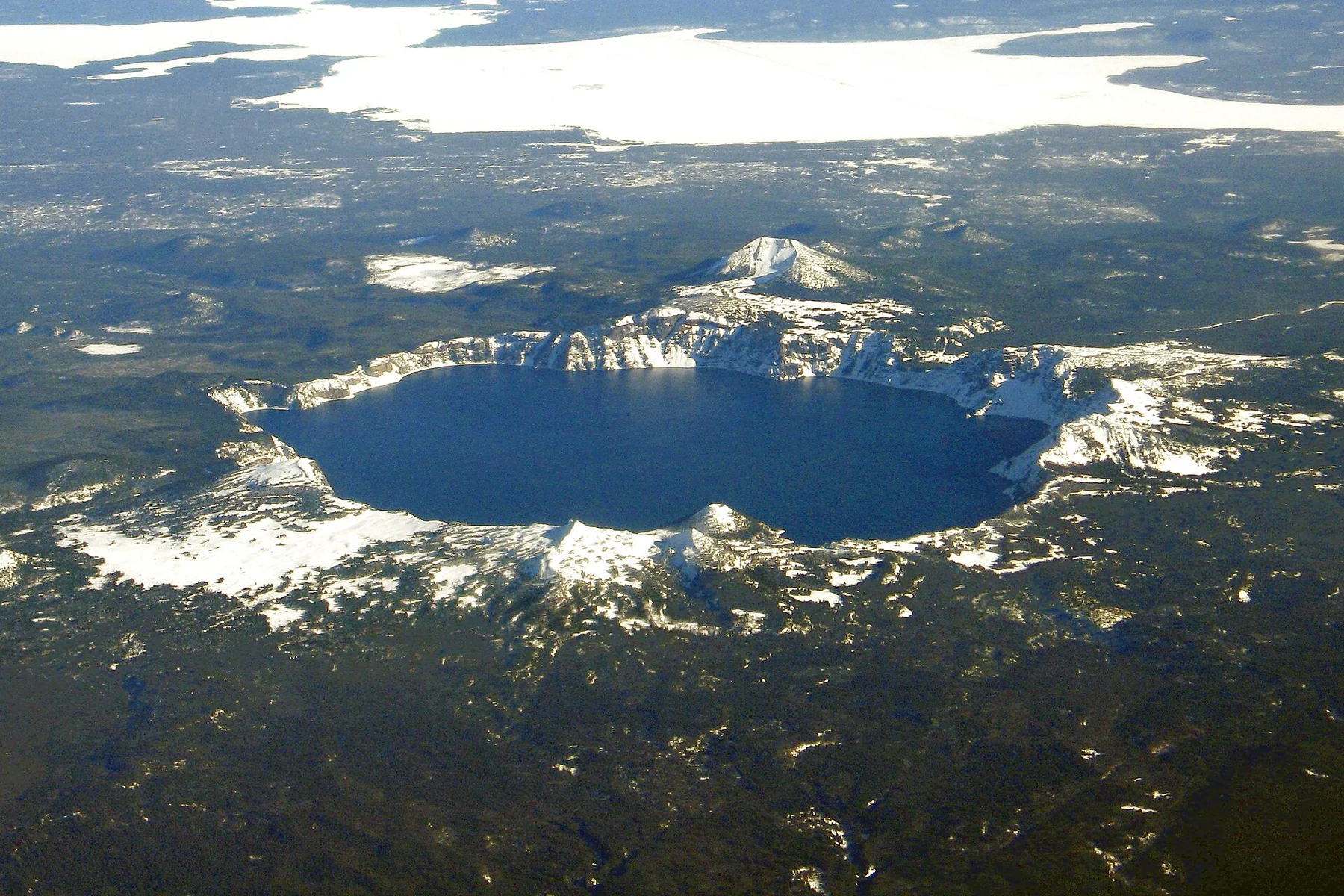
The lake occupies the collapsed caldera of Mount Mazama. It has no road to the water and no village on its shoreline. Rim Village sits above the lake on the southern rim; park headquarters and the Steel Information Center are farther downhill. A map pin marked Crater Lake can therefore take you somewhere quite different from a particular viewpoint, hotel or trailhead.
The major road distinction is between Highway 62, which connects the South and West approaches, and the seasonal North Entrance Road and Rim Drive. Reaching the park boundary is not the same as reaching a lake view. Read the approach guide before accepting an automatic navigation route, especially when travelling between autumn and early summer.
Understand what has changed at the shoreline
The National Park Service project page says Cleetwood Cove Trail and its marina are undergoing rehabilitation through the 2026, 2027 and 2028 summer seasons. Cleetwood is the only permitted public route to the shore, so plan without swimming, public boat tours or a Wizard Island landing during this work. A photograph of a boat is not evidence that the service operates now.
This does not mean the entire national park has closed. Rim-level sightseeing remains possible where roads and trails are open, while winter snow and other projects impose their own separate limits. Our dated closure guide explains how to read these layers and why an older page mentioning only two closed summers should not determine a new booking.
Choose the amount of effort before choosing the itinerary
A low-walking visit can concentrate on Rim Village and whichever paved overlooks are reachable. The promenade offers changing views without a summit hike, although uneven surfaces, slopes and snow still matter. Discovery Point adds a longer unpaved walk. Watchman, Garfield Peak and Mount Scott are separate hiking decisions with appreciable climbing, rather than interchangeable short photo stops.
Pick one principal walk suited to the least comfortable person in the party. Keep another nearby viewpoint as an optional extra, not a mandatory finish. A group with different abilities can share a rim visit and split for a clearly timed hike only if the remaining travellers have a comfortable, permitted place to wait and a reliable reunion plan.
Give the lake a weather window
The park is open year-round, but that phrase does not promise that every road, building or view is available. Snow can conceal trails into summer and storms can temporarily close the final climb to Rim Village. Clouds or smoke may obscure the lake even when the road is open. Check the forecast, current road notices and the timestamp on the webcam separately.
For visitors who are travelling a long way principally to see the lake, an overnight stay provides another possible viewing window. It cannot guarantee clear conditions, but it avoids making one rushed hour carry the whole purpose of the trip. The season guide explains the trade-offs between broader summer access, autumn uncertainty and a deliberately winter-focused visit.
Book a base on the side you will use
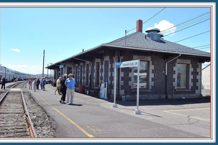
Fort Klamath and Chiloquin suit the southern Highway 62 approach; Union Creek and Prospect suit the western corridor. Klamath Falls and Medford offer wider service choices but a longer park day. Chemult and Diamond Lake can fit northern travel when the North Entrance is open; their apparent proximity becomes misleading once that road closes.
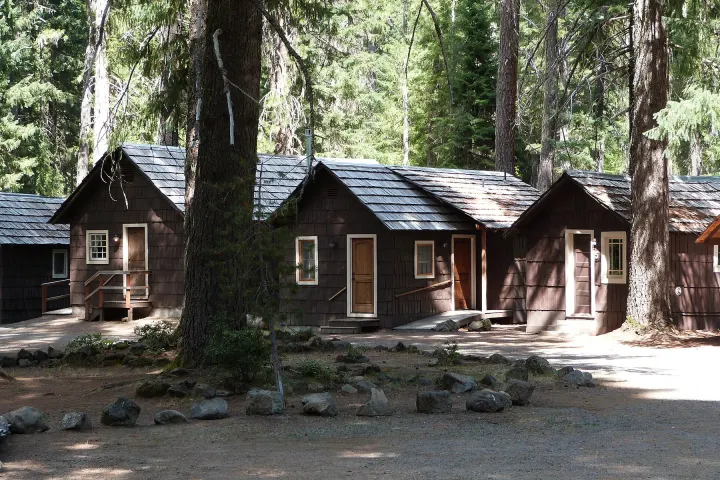
Compare accommodation using the actual property address and tomorrow’s permitted route. Crater Lake Resort in Fort Klamath, for example, is not Crater Lake Lodge on the rim. Likewise, a property’s lake view may face Upper Klamath Lake or Lake Ewauna. Our accommodation comparison makes these distinctions explicit before the room photographs and price attract your attention.
Decide what a paid experience adds
Most park viewpoints and ordinary day walks are independent activities covered by the applicable park entrance arrangements. Seasonal ranger or concession services need their own current confirmation. The GetYourGuide products verified for this guide are regional activities near Klamath Falls, outside the national park; they are not park admission, a Crater Lake boat trip or transport to the rim.
Choose a regional activity because it improves the wider holiday, not because its commercial name contains Crater Lake. Families may compare a children’s zipline session with time in the Klamath Basin; older participants may consider the separately listed axe-throwing session. The gateway guide explains how to place such stops around, rather than inside, a national-park day.
Turn the outline into a practical day
Download your route and park information while you have a reliable connection. Carry water, food, warm layers and enough fuel for the actual return route. Confirm the operating season of restaurants and pumps; neither a summer map symbol nor a familiar hotel brand promises a service at the hour you need it. Save accommodation and meeting instructions offline.
Start with a flexible one-day plan or allow two days with a second viewing opportunity. Keep fixed flights and long onward drives outside a tight mountain schedule. The most useful final question is not how many stops fit on the map, but whether you still have time, energy and a sound return plan after the main experience.
Crater Lake in figures
A few official numbers explain why the lake looks and behaves as it does. NPS gives Crater Lake’s depth as 1,943 feet, about 592 metres, which makes it the deepest lake in the United States. It fills the collapsed shell of Mount Mazama, a volcano that NPS says once stood about 12,000 feet high before its summit collapsed after a major eruption roughly 7,700 years ago.
The colour comes from purity: NPS explains that the water contains very little besides water, so it absorbs most colours of sunlight and returns blue. The climate is equally extreme. Park headquarters averages about 41 feet, or 12.5 metres, of snowfall a year, down from around 51 feet in the 1930s, which is why roads open late and a winter trip needs its own plan.
↔ Swipe or scroll sideways to compare all columns.
| Figure | Value | Why it matters |
|---|---|---|
| Maximum lake depth | 1,943 ft / 592 m | Deepest lake in the United States |
| Lake surface | About 6,178 ft / 1,883 m | The rim stands far above the water |
| Rim Village | About 7,050 ft / 2,149 m | Pack for mountain weather |
| Mount Mazama eruption | About 7,700 years ago | Created the caldera the lake now fills |
| Average snowfall at headquarters | About 41 ft / 12.5 m a year | Explains late road openings |
| Rim Drive | 33 miles / 53 km, 30 overlooks | Allow at least two hours when fully open |
Questions before you go
Is Crater Lake closed during the Cleetwood project?
The shoreline trail and public boat access are closed for the project’s stated 2026–2028 seasons. Other park areas remain subject to their own seasonal road, trail and weather restrictions; the whole park is not closed by that project.
Can I see the lake without a long hike?
Yes, when the road to Rim Village and suitable overlooks are open and visibility permits. Assess parking, surface, slope and snow conditions for your group rather than assuming every viewpoint is step-free.
Do I need to reserve entry?
NPS currently says no vehicle reservation is needed for park entry. You still need the appropriate entrance fee or pass; lodging, camping and activities have separate arrangements.
Which part should I book first?
Choose a workable season and entrance, then accommodation on that approach. Add walks and regional activities around those decisions instead of buying a product before checking its location.
How deep is Crater Lake?
NPS gives a depth of 1,943 feet, about 592 metres, making it the deepest lake in the United States. The water lies far below the rim, and during the Cleetwood project the public cannot reach the shore.
Sources & editorial notes
Sources include National Park Service notices, official regional information and verified accommodation and activity listings. A dated check is not a live operating-status guarantee.
- National Park Service: Geology ↗
- National Park Service: Current Conditions ↗
- National Park Service: Cleetwood Cove Trail and Marina Rehabilitation ↗
- National Park Service: Directions ↗
- National Park Service: Fees & Passes ↗
- National Park Service: Hiking Trails ↗
- National Park Service: Frequently Asked Questions ↗
- National Park Service: Weather ↗
- National Park Service: Scenic Rim Drive ↗