Sources checked 4 November 2026 · Check current NPS notices before travel
Some links are affiliate links. We may earn a commission on qualifying bookings at no extra cost to you. This does not determine your price or guarantee availability.
Diamond Lake is a different destination from Crater Lake
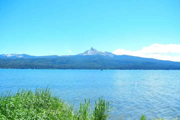
Diamond Lake lies north of the national park in the Umpqua National Forest area, with Mount Bailey and Mount Thielsen forming part of its surrounding landscape. It has its own camping, recreation and resort arrangements. A Diamond Lake cabin or lake view is not an in-park Crater Lake stay, even when the property’s marketing emphasizes the nearby national park.
NPS’s outside-lodging list places Diamond Lake roughly 25 miles from park headquarters only when the North Entrance route is open. Once that road closes, the relationship changes substantially. This is why the overnight decision must follow the actual entrance plan instead of a straight-line distance or a summer travel time repeated throughout the year.
Highway 138 makes a corridor rather than one quick stop
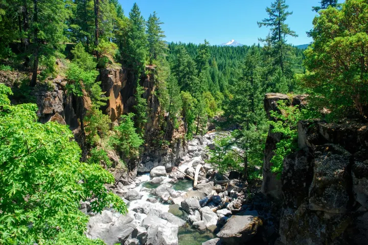
The North Umpqua route along Highway 138 connects toward Roseburg and includes several waterfall destinations. Official Oregon tourism describes it as part of the Rogue-Umpqua scenic byway, with the wider route connecting south through Highway 230 and the upper Rogue corridor. It can support a full travel day rather than a brief add-on after a long park hike.
Choose a small number of stops that fit the direction of travel. Each involves turning off, parking legally, walking and returning, even if the waterfall itself is described as close to the road. Keep the final drive to accommodation in daylight where practical and avoid assuming that a string of short walks can be added without changing the overall schedule.
Toketee offers a developed viewpoint, not permission to scramble
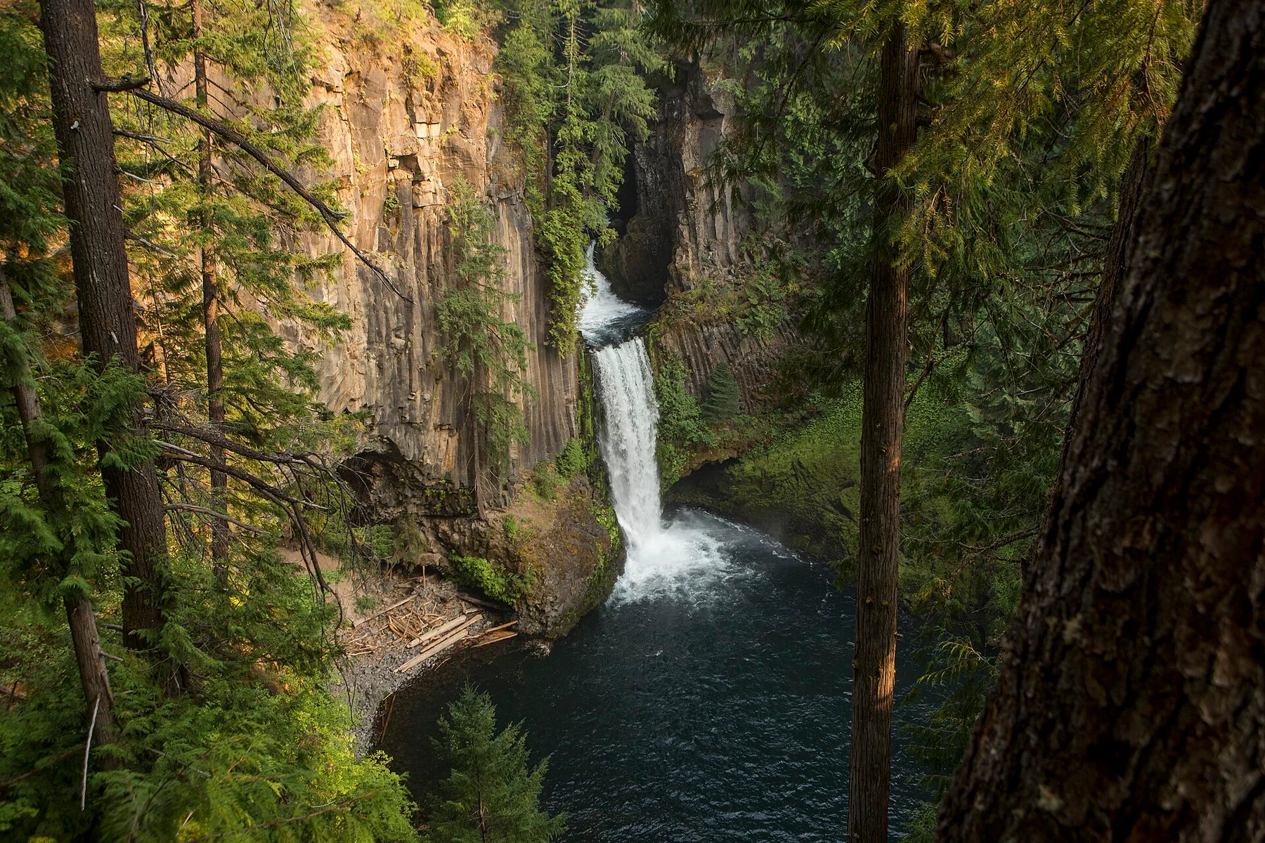
The official regional trail description leads visitors through the forest to a viewing platform for Toketee’s two-tier waterfall and volcanic basalt setting. Use that established route and platform. Images taken from below the falls may involve a different, unofficial access line and should not be treated as instructions for a normal visitor route.
Assess current trail condition, steps and surface before selecting it for someone with mobility limitations. Carry drinking water; the regional trailhead listing does not promise a drinking-water supply. A short trail still deserves suitable footwear and attention near wet ground and steep edges. Do not climb barriers or descend toward the water to reproduce an online photograph.
Select other waterfalls from current forest information
Watson, Clearwater and Whitehorse are among the waterfall names associated with the wider Umpqua corridor, but they should not be treated as identical roadside stops. Trail length, gradient, access road and current closure status vary. Choose the specific site from official forest or regional visitor information, then check current notices before committing to its detour.
Older brochures can explain geography while failing to reflect a storm, fire or damaged trail. A retired Forest Service PDF is not a current operating notice. This guide therefore avoids giving a universal all-open waterfall circuit or a fixed number of stops per hour. If one site is unavailable, substitute another only after verifying its access rather than following a random map suggestion.
Diamond Lake recreation has its own equipment and season
The Recreation.gov description identifies an approximately eleven-mile paved route around Diamond Lake, alongside camping and water-based recreation. That does not make every section suitable for every visitor or guarantee snow-free access year-round. Decide whether you want a short lakeside walk, a cycle outing or a separately arranged water activity, and check the relevant conditions.
Do not confuse a developed campground with a full-hookup RV park. The federal Diamond Lake campground listing states that electric, water and sewer hookups are not provided at sites, while private resort facilities are a separate operation. Confirm the exact campground or room, equipment limits and services rather than booking from the lake name alone.
Check the alternative park connection before sleeping north
When North Entrance is closed, NPS directs travellers from the Highway 138 side toward Highway 230 and Highway 62 for the western approach. Travellers on the Highway 97 side can continue south toward Chiloquin and use Highway 62 from the south. These are different alternatives depending on where you actually start; neither should be replaced by a closed-road shortcut.
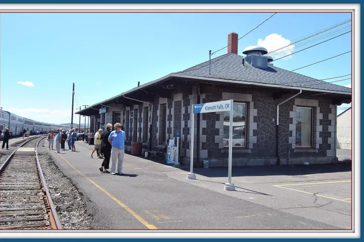
Chemult’s Eagle Crater Lake Inn can fit a Highway 97 travel night, while Bend hotels serve a broader Central Oregon segment farther away. They are not automatically the best base for a winter lake view. Compare the accommodation roles and confirm the route to Rim Village before deciding that a northern stay saves driving.
Give the corridor its own place in a longer holiday
A useful three-day structure pairs two flexible Crater Lake sessions with one Diamond Lake or Umpqua travel day. The regional day can come first or last according to the road trip, allowing time to enjoy a waterfall rather than rushing it between a summit hike and a hotel deadline. If weather obscures the lake, the extra day may also create another possible viewing window.
Use the regional itinerary comparison to decide between this corridor, Klamath or the upper Rogue. There is no need to include all three in one short visit. A geographically coherent journey usually offers more useful experience than a longer list of names connected by hurried driving.
Questions before you go
Is Diamond Lake inside Crater Lake National Park?
No. It is a separate lake and recreation area north of the park. Its accommodation, camping and water activities operate separately from the national park.
Is Diamond Lake always a close base for the rim?
Its convenient northern connection depends on North Entrance being open. When closed, calculate the complete alternative route before booking.
Can I climb down below Toketee’s viewing platform?
This guide recommends the established viewpoint route, not an unofficial descent. Stay within barriers and current site rules rather than copying photographs taken from another position.
Does the federal Diamond Lake campground have full hookups?
The Recreation.gov campground listing says sites do not have electric, water or sewer hookups. Private RV facilities are separate products; verify the exact booking.
Sources & editorial notes
Sources include National Park Service notices, official regional information and verified accommodation and activity listings. A dated check is not a live operating-status guarantee.
- National Park Service: Directions ↗
- National Park Service: Places to Stay Outside the Park ↗
- Travel Oregon: Rogue-Umpqua Scenic Byway ↗
- Travel Southern Oregon: Toketee Falls Trailhead ↗
- US Forest Service / Recreation.gov: Diamond Lake Campground ↗
- National Park Service: Current Conditions ↗