Sources checked 4 November 2026 · Check current NPS notices before travel
Some links are affiliate links. We may earn a commission on qualifying bookings at no extra cost to you. This does not determine your price or guarantee availability.
Use a simple two-plus-one structure
Allocate two flexible park sessions around an overnight, then one regional day on the side of the lake that matches the journey. The first park session can be a rim view and orientation; the second can hold the main hike or scenic-road section. This leaves the third day free to be genuinely different rather than a catch-up list of missed viewpoints.
The order can change. A regional day before the park may fit flight arrival or weather better, while a final corridor day can lead naturally toward the next town. Keep the structure flexible and use the two-day park guide for the central visit. Access, daylight and accommodation location should determine the final sequence.
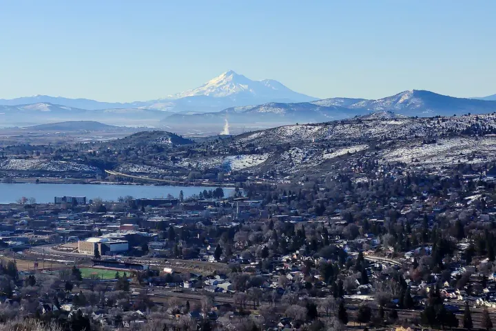
Choose the Klamath Basin for a southern regional day
Klamath Falls, Chiloquin, Fort Klamath and the Upper Klamath Lake area are related but not interchangeable destinations. A basin day can focus on water landscapes, town services or an independently arranged paddling activity. Regional tourism guidance identifies places such as Spring Creek and the Wood River, but their conditions and access are separate from the national park.
If a paid activity fits the group, the verified GetYourGuide options are a children’s zipline adventure and an axe-throwing session at a venue near Klamath Falls on Highway 140. Both are outside the park. See the Klamath guide for eligibility and location distinctions before building a hotel or park schedule around them.
Choose the upper Rogue for a western day
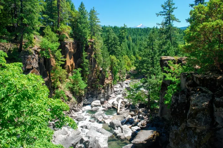
The Highway 62 corridor through Union Creek and Prospect connects naturally with Medford and the West Entrance. Rogue Gorge and Natural Bridge introduce flowing water and volcanic rock at a different scale from the caldera. They can form a separate day of modest walks and stops rather than being squeezed into the end of a summit hike.
The short interpretive visit at Natural Bridge is different from a longer river-trail outing. Confirm the actual trail segment, current forest notices and facilities before deciding how much time to allocate. The western corridor guide makes the river stops distinct from park attractions and helps compare a closer gateway night with a city stay.
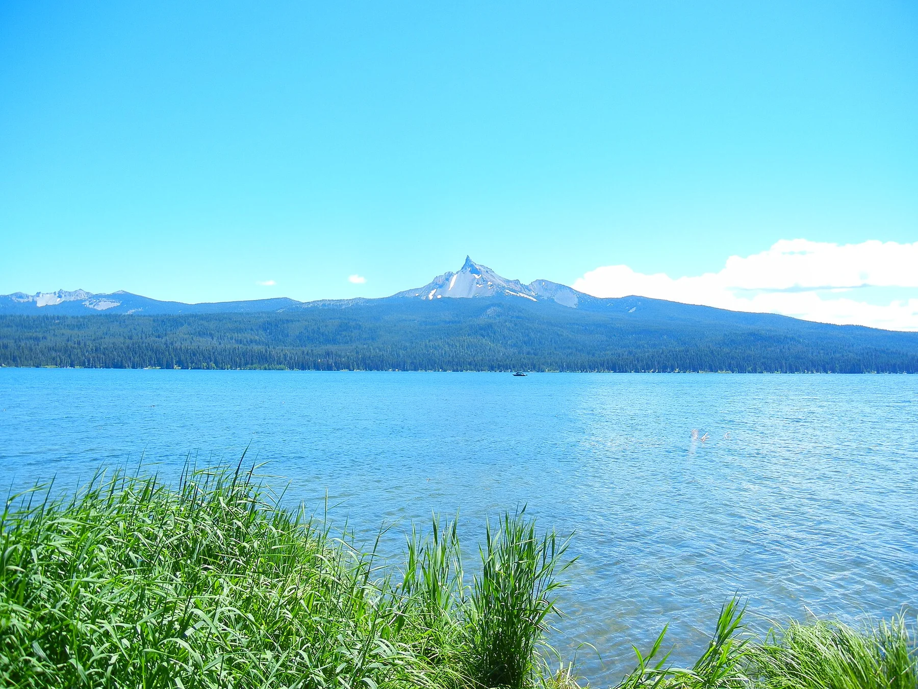
Choose Diamond Lake and Umpqua for a northern or western road trip
Diamond Lake and the North Umpqua waterfall corridor suit a journey using Highway 138 when road conditions and the park entrance arrangement fit. Toketee and other waterfalls are separate forest destinations with their own trail and closure information. A roadside waterfall symbol does not describe the effort, steps or time needed to reach its view.
The North Entrance’s seasonal closure is the critical connection. When it is unavailable, reaching Crater Lake from the Highway 138 side requires the official alternative through Highway 230 and Highway 62 or another suitable open route. Read the corridor guide before choosing a northern overnight on the assumption that the park is just across the next junction.
Compare the three directions before booking
Each corridor has a different relationship to airports, hotels and the open road network. A Medford arrival can make the Rogue side convenient; a southern Oregon road trip may favour Klamath; a Roseburg or Central Oregon journey may favour Umpqua or Diamond Lake. None is universally best, and the same itinerary should not be copied into every season.
Use the table as a geographic comparison, then calculate the route from exact property addresses. These are editorial planning suggestions, not quoted travel times or a claim that all regional attractions operate on every date.
↔ Swipe or scroll sideways to compare all columns.
| Regional choice | Natural connection | Main planning distinction |
|---|---|---|
| Klamath Basin | South approach and Highway 97 / 140 | Different lakes and activity venues; not Crater Lake water access |
| Upper Rogue | West approach and Highway 62 | River stops can fit Union Creek, Prospect or a Medford night |
| Diamond Lake / Umpqua | Highway 138 corridor | North Entrance may be closed; verify the alternative connection |
Make accommodation serve the direction
A small gateway property can reduce the park drive, while a city or resort stay can support the regional day’s restaurants and services. Fort Klamath and Union Creek are useful park-oriented comparisons. Running Y or a Klamath Falls hotel can fit a basin extension; Medford or Weasku Inn near Grants Pass can fit a wider Rogue journey. Bend belongs to a separate Central Oregon segment.
Do not add hotel changes without a purpose. One gateway base plus a final city night may be more efficient than moving each evening. Compare the exact room, cancellation terms and arrival arrangements in the accommodation guide. If the route changes with weather, a flexible booking can be more valuable than a small headline saving.
Keep the third day optional enough to absorb a change
The extra day can provide a second chance for a lake view if the first park session is obscured. That does not mean booking a non-refundable regional activity and assuming it can be moved freely; provider terms still apply. Decide which commitment is essential and which can flex before paying, and keep a realistic onward departure margin.
During the 2026–2028 shoreline project, do not describe regional paddling as a substitute route into Crater Lake. It is a different experience on a different waterway. A good three-day journey is honest about those distinctions and gives each place enough time, preserving the park’s rim experience while adding a useful contrast beyond it.
Questions before you go
Which regional day is best from Medford?
The upper Rogue corridor is geographically natural for the Highway 62 western approach. The best choice still depends on your actual accommodation, road status and onward destination.
Can I do all three corridors in three days?
That would leave substantial driving and little time for the park itself. This guide recommends choosing one corridor alongside two flexible park sessions.
Are Klamath kayaking trips on Crater Lake?
No. Regional paddling takes place on different lakes or rivers. It does not bypass the closed Cleetwood route or create access to the national-park lake.
Should I book a regional activity before seeing the weather?
Read its cancellation terms and decide how much flexibility you need. A provider outside the park may operate even when a park road or lake view is unavailable.
Sources & editorial notes
Sources include National Park Service notices, official regional information and verified accommodation and activity listings. A dated check is not a live operating-status guarantee.
- National Park Service: Directions ↗
- National Park Service: Places to Stay Outside the Park ↗
- National Park Service: Current Conditions ↗
- Discover Klamath: Your Guide to Kayaking the Basin ↗
- Travel Southern Oregon: Toketee Falls Trailhead ↗
- National Park Service: Cleetwood Cove Trail and Marina Rehabilitation ↗